(being places where I worked in Illinois)
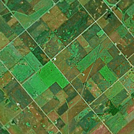
This is imprecise, because I don’t remember which cornfields I actually worked in as a detassler. But all cornfields look the same from above, which is presumably why Google doesn’t dignify them with high-resolution photos.
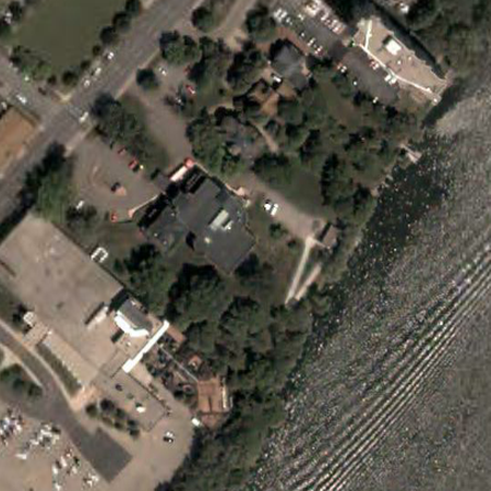
Here is the Burpee Museum of Natural History, where I was a reptile keeper and did various other things in my youth.
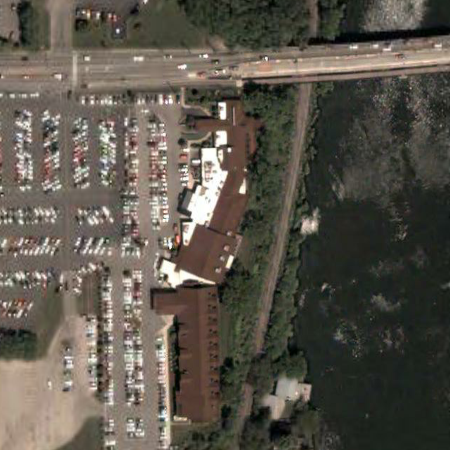
Here, farther north on the same river, is Cliffbreakers, a restaurant where I was a banquet server/busboy. It didn’t have the hotel attached to the southern end when I worked there.
i had somehow missed the news that Google Earth was a software program separate from maps.google.com. that is a wicked cool interface, well worth the 15 second download. nonetheless, i’m still sad that i still can’t zoom in any farther on my neighborhood back home.
and also! stating for the record that all fields are not created alike, even from the air—they don’t even all have corn all the time. of course non-winter coloration helps with that some.
my little brother dylan is actually really into 3d mapping these days, due to his position as a wireless entrepreneur, which evidently entails requiring an interest in things like line-of-sight over vast distances.